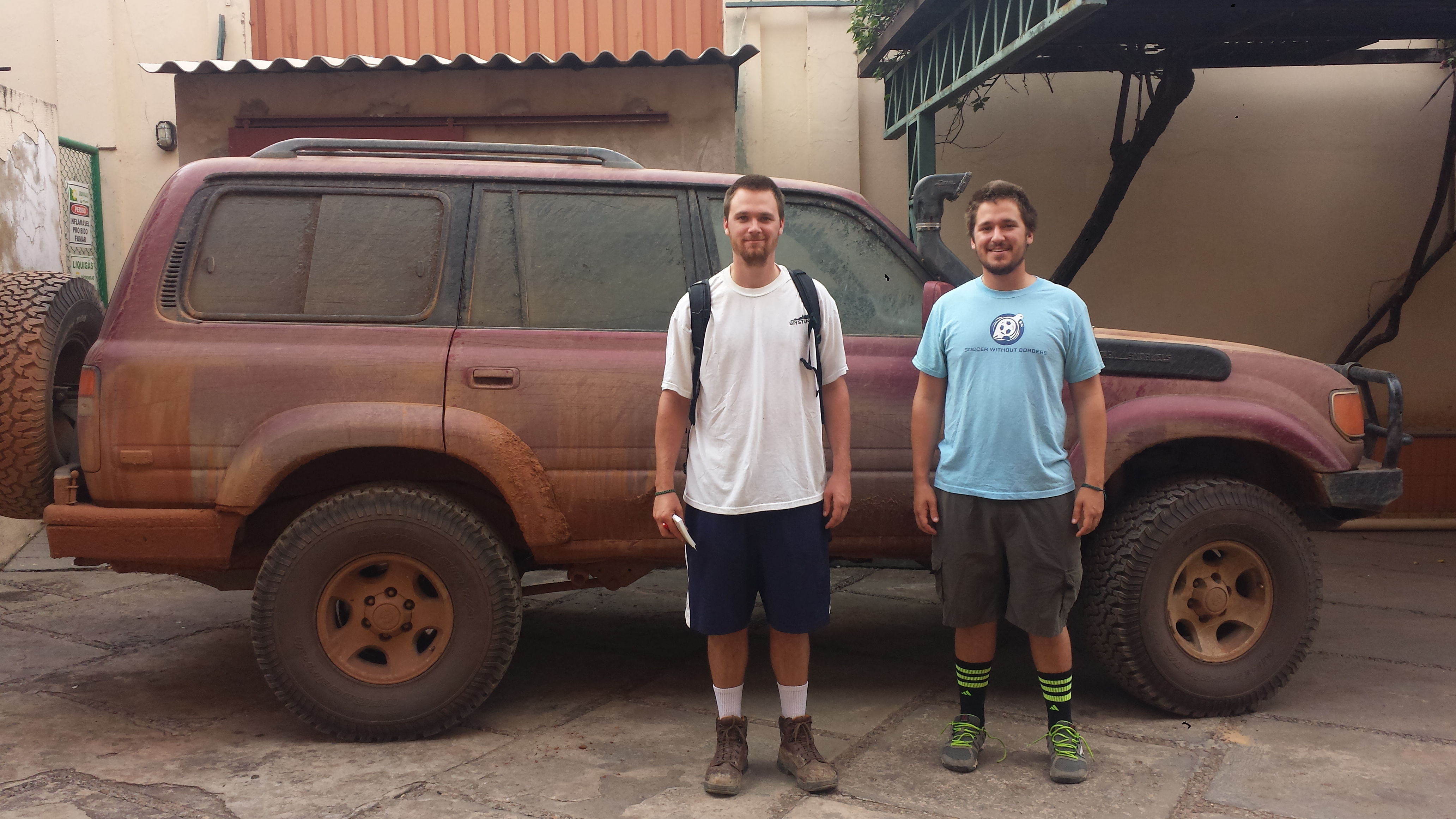
We started the last full day of driving before Brazil very early, packing up and hitting the road at 4:00 am. Our goal for the day was to drive from San Ignacio de Velasco, Bolivia to San Matias and the Brazilian border, and then to Cuiabá, Brazil. Originally, this was not our plan. In the months leading up to our drive, we researched and planned out each and every country and border crossing we would travel through. Many awesome websites and blogs chronicle other adventurer’s trips through this part of the world, so most of the time we had at least a general idea of what to expect as we entered a new country. The final leg of our journey, though, was almost entirely uncharted. The common route most take through this part of the Americas is south through Chile and Argentina. The massive Amazon rainforest prevents most east-west travel, and most people want to visit the southern reaches of the continent anyway. We, however, needed to be in Brazil by June 17th, so longer routes were not an option.
We had decided on a route that would take us through Cusco, Peru and then north, crossing the Peru-Brazil border at the small town of Iñapari. While very rarely traveled by overlanders, we were able to find some information on the roads and border crossing there. It was very lush and wet, running through the southern tip of the Amazon rainforest. The route would also require us to take a few local ferries, as some of the major rivers it crossed did not have bridges. It did, though, prevent us from needing to drive through Bolivia. Each additional country border that we crossed took an additional half a day, on average, and Bolivia in particular requires US citizens to purchase an expensive ($135) visa before entering.
As the start date approached, however, we started to have doubts about our chosen route. It was the rainy season in Brazil and there were reports of major flooding in the area. From the Portuguese translations of news articles, we read that many miles of road were covered in 12-15 cm of water and were completely impassible. The ferry schedules were unreliable, if they were running at all. We made the executive decision a few weeks before we left to take the slightly longer route through Bolivia instead. This presented its own set of problems, especially regarding information about the Bolivia-Brazil border. The problem being, there was none.
Very few people seemed to drive between Bolivia and Brazil. If they did, they went through Corúmba, Brazil, which was much farther south than we wanted to go. We were unable to find any information, good or bad, about the border crossing at San Matias. Zero. There appeared to be a road to it on Google Maps, though, and it if we could make it we were a mere five hours from our final destination in Cuiabá. We made the decision to go for it.
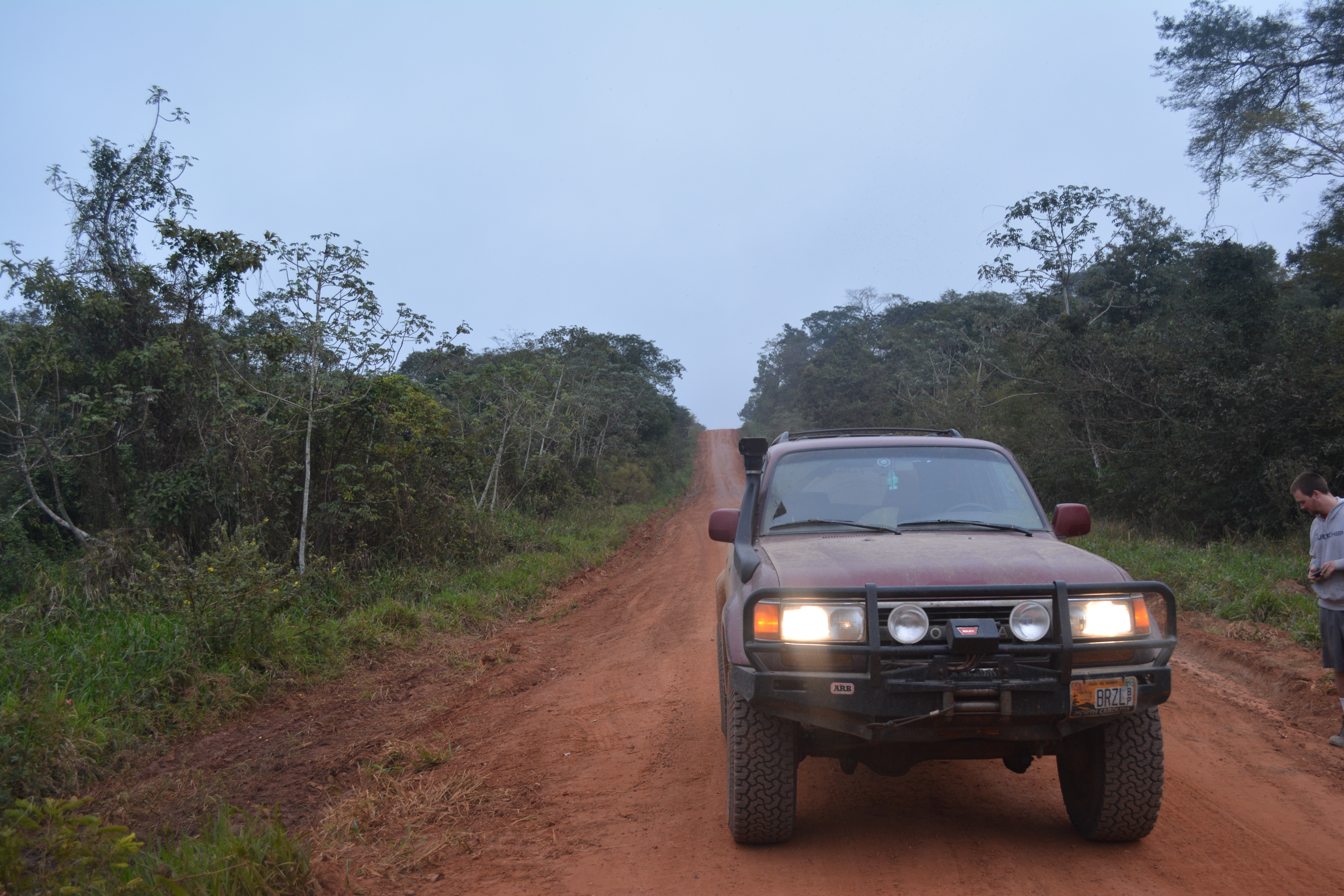
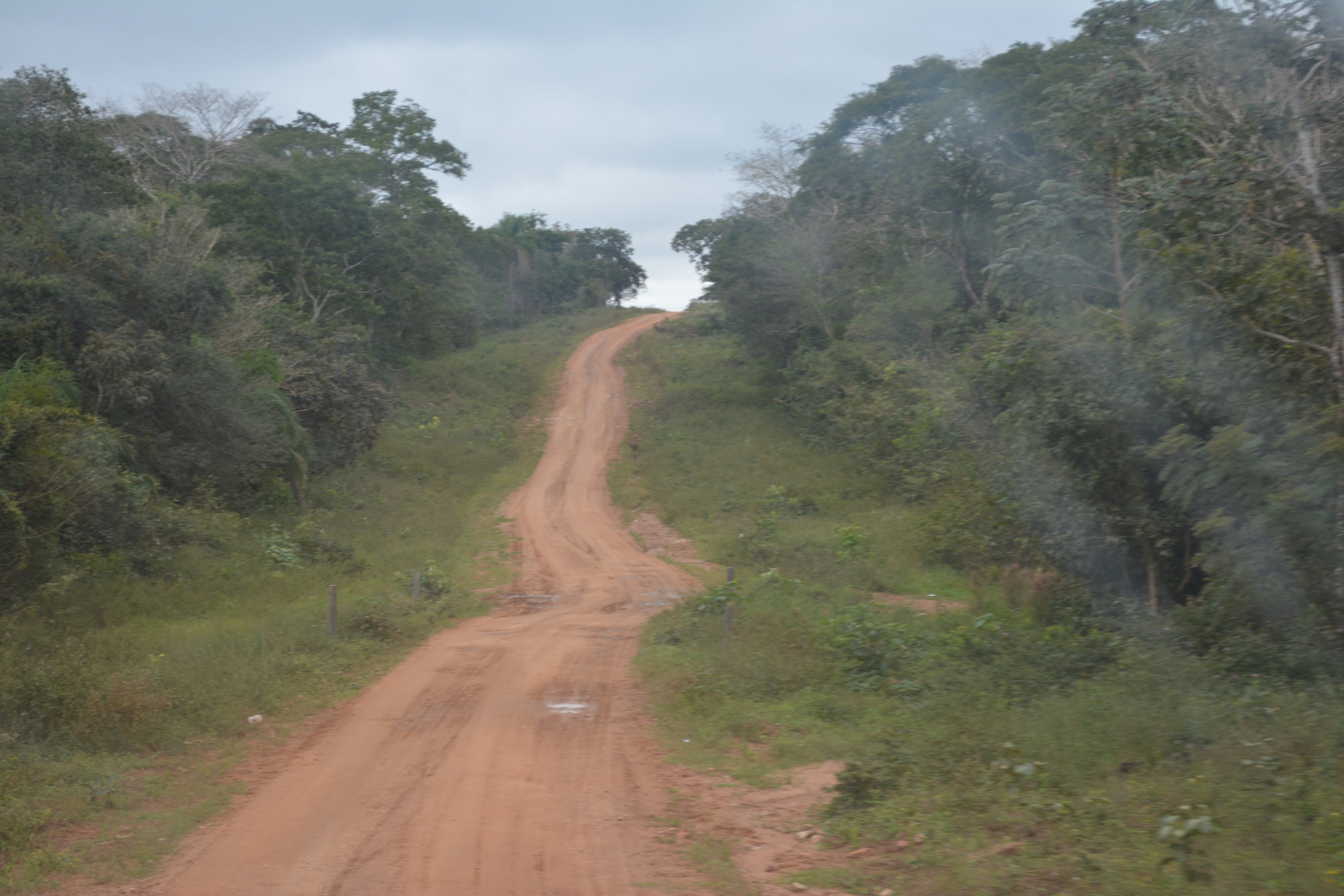
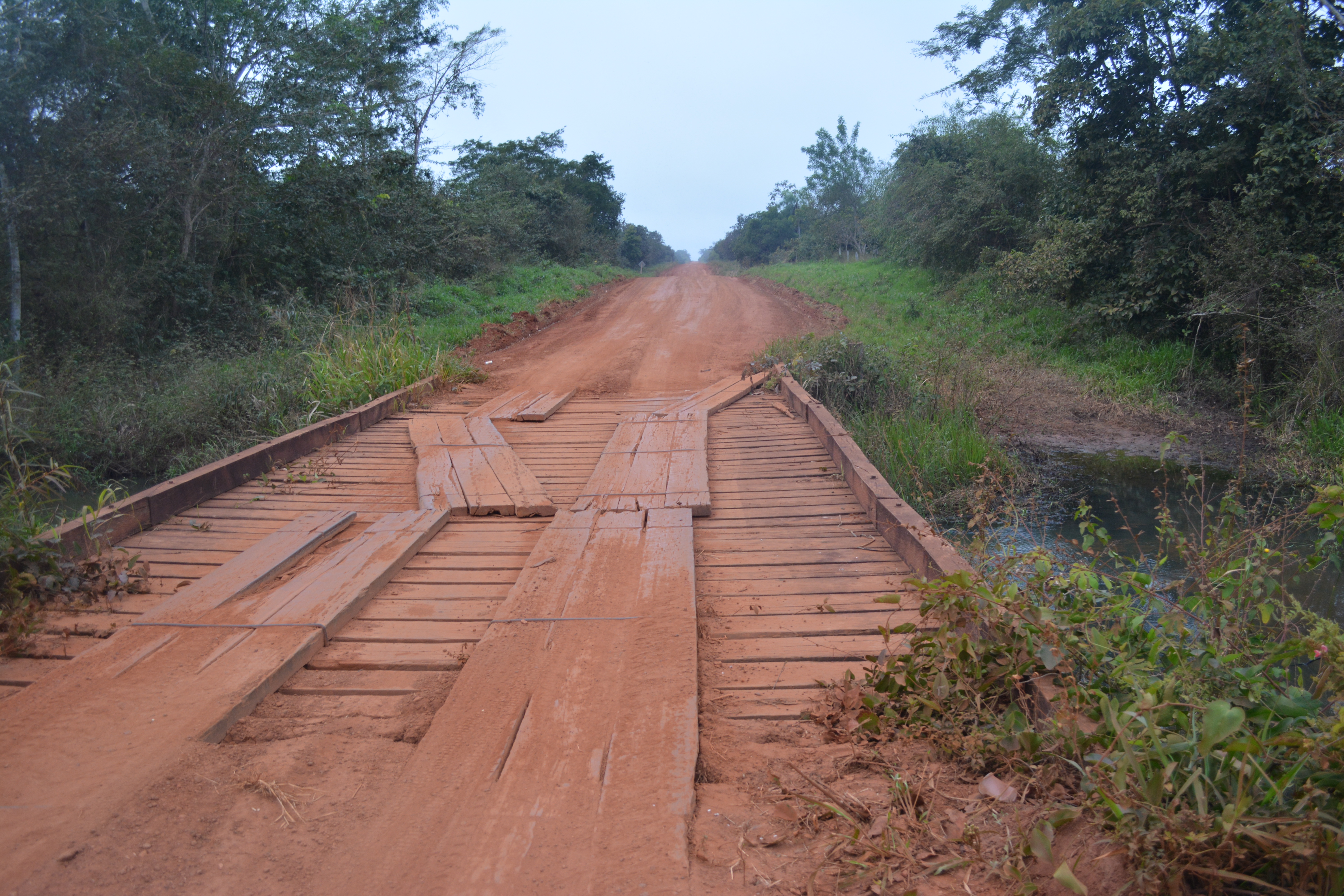
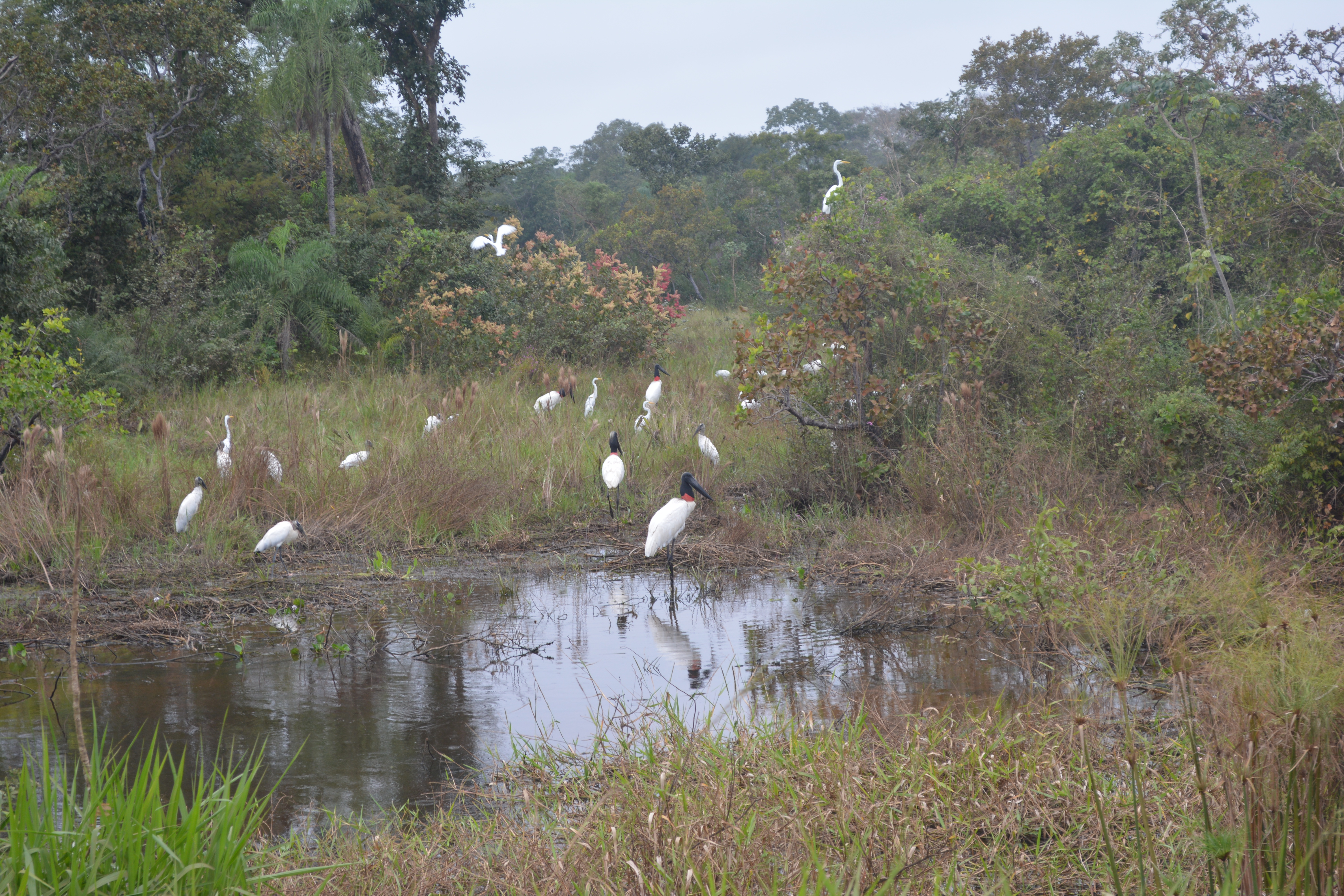
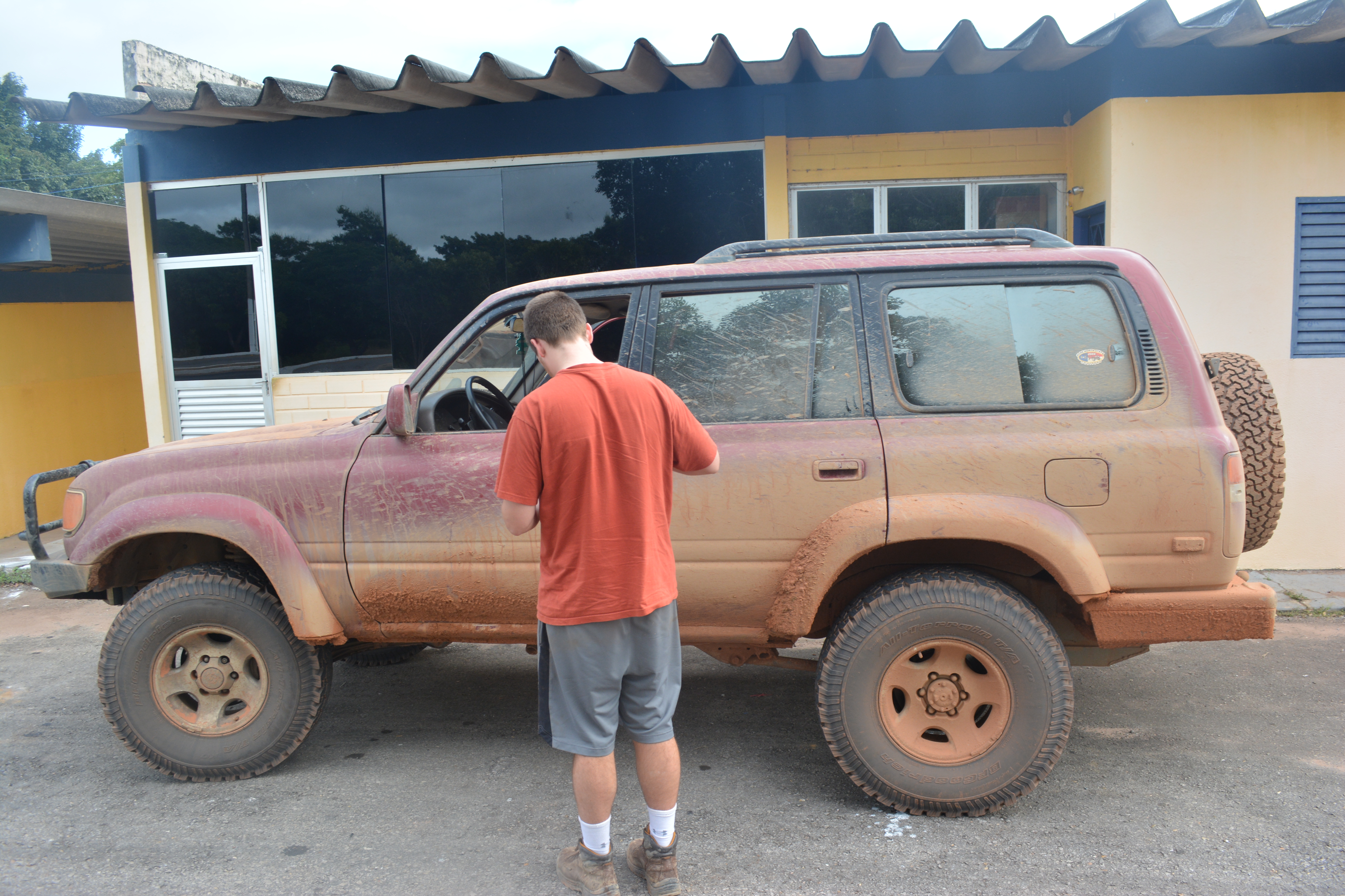
As we left San Ignacio, the already poor roads got even worse. The small, singe track dirt road became mostly wet, orange mud and clay. The beauty of the lush jungle around us was partially lost on us, as we struggled to maintain our speed through the mud and washboards of the road. We regularly stopped to inspect the bridges for safety. Our average speed was roughly 15 mph for most of the day. To make things worse, the last time we had filled up our gas tanks was hundreds of miles back at the Mennonite Colony in Chihuahua. With our spare 20 gallon tanks, we would just barely make it to San Matias. We did spend part of the day driving through the Pantanal wetlands, though, and we saw many birds and animals, as well as a few locals fishing. In total, though, we saw fewer than 20 other people the entire way.
Roughly 10 hours later, we finally pulled into San Matias, a tiny collection of single story houses and dirt roads, who’s only real purpose seemed to be protecting the Brazilian border. We were nearly out of gas, so after asking some locals, we found the only gas station in town. As we drove in to fill up, we found our way blocked by chains, and an older man came out to yell at us. The pump was broken, he said. Couldn’t we read? We bargained, pleaded, but no: he could not sell us any gas. If we were willing to wait a few days, he might be able to fix it. We continued warily into town to find the customs office.
With the help some more locals, we finally found it, nestled into main street of the tiny town and entirely deserted. The woman inside seemed incredibly surprised to see us. I wonder how long it had been since two gringos had walked in asking for passport stamps? She pulled up an archaic computer and started typing. As we waited, we struck up an awkward conversation in broken español about our trip and the World Cup. We told her we needed gas, and asked if by any chance she knew someone who had some. She did! Some 15 minutes later, her cousin pulled up on a motorcycle and produced a 20-liter plastic tank filled with dirty-looking gasoline. We gave it a sniff and decided that dirty gas was better than no gas. We paid him triple the normal price, got our passport stamps, and drove dirty, weary, and broken to the Brazilian border.
The border itself turned out to be nothing more than a small bridge with Bolivian militarios on one side. The glared at our mud-crusted ‘Cruiser, checked our stamps, and grudgingly let us through the gate. On the Brazilian side, we immediately saw something that we had not seen in days: pavement! A few hundred meters from the border, we stopped at a small shack where the Brazilian authorities inspected our car and its contents. We were told that our car was OK, but we had to drive two hours to the town of Cáceres to get our passports stamped and legally be allowed into the country. Yikes. On the way, we finally bought gas, and were even able to use a credit card for the first time in days. We finally found the police station in Cáceres, got our papers, and drove the comparatively easy three additional hours to Cuiabá.
At this point, I should probably mention our GPS. Throughout our trip, we had been tracking ourselves in realtime and checking in with loved ones through a satellite GPS. You can see these points at map.brazildrive.com. We rarely had internet, so this was our only way to communicate with the outside world. Well, with all the drama of getting our brakes fixed and being car-less, we left it hanging in a tree in Pailón. So, for a few days, no one had any idea if we were ok and our tracking page didn’t move at all. I am told that this caused more than a few people a lot of stress. In particular our mother, who had flown to Cuiabá to meet us and go to the World Cup. Not only were we more than a day and a half behind schedule, but she had not heard ANYTHING from us in four entire days. We finally pulled into our hotel in Cuiabá late that evening and honked the horn. Half of the hotel lobby, including our mom, came out to welcome us. She had told everyone about her “crazy” sons, and they had been anxiously waiting for us all day!
We got something to eat and started to tell stories about our journey so far, and finally turned in after an exhausting few days of travel. The next day, we had our first World Cup match, Russia vs. South Korea, and more importantly, we had made it to Brazil!

